
 Image 1 of 4
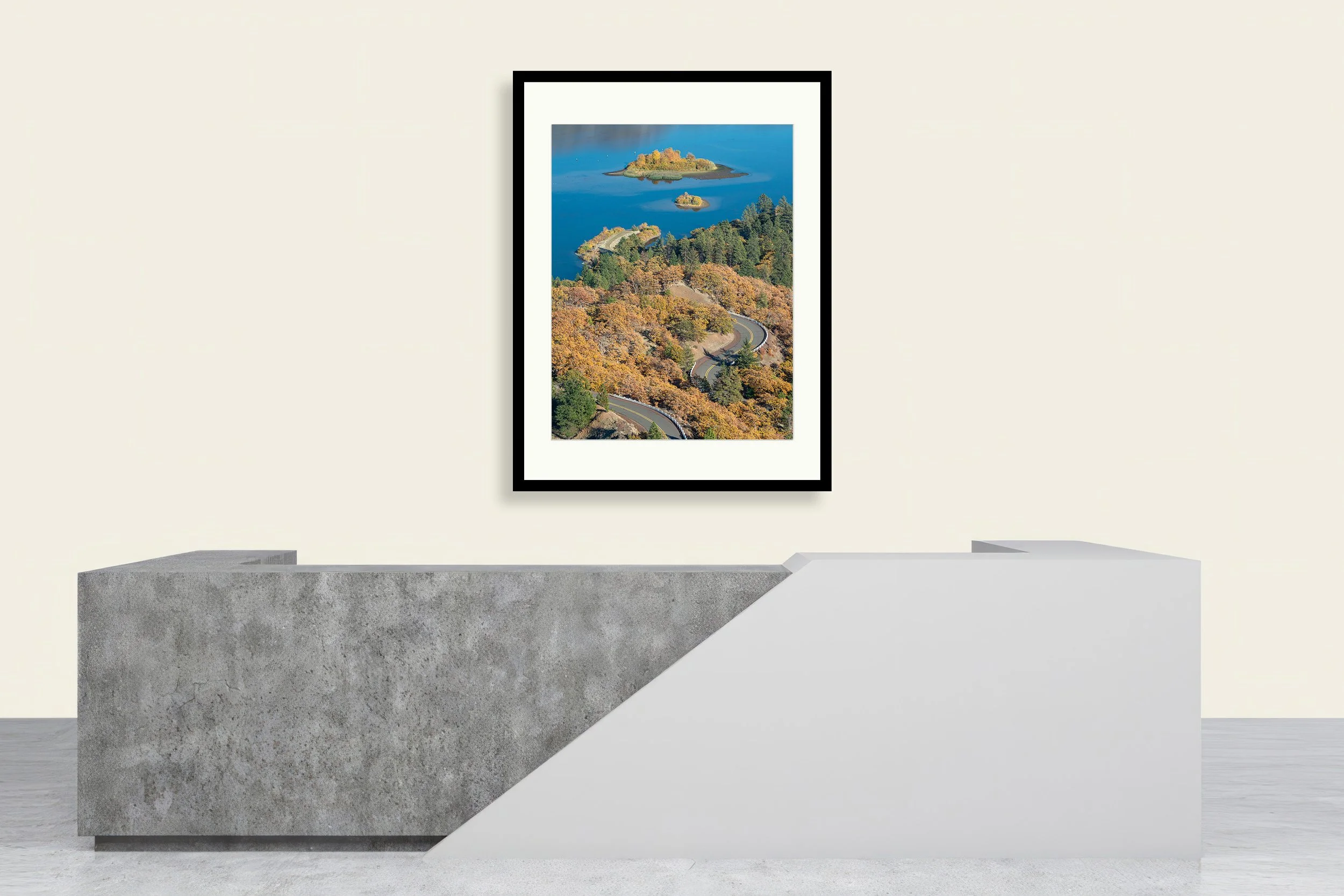 Image 2 of 4
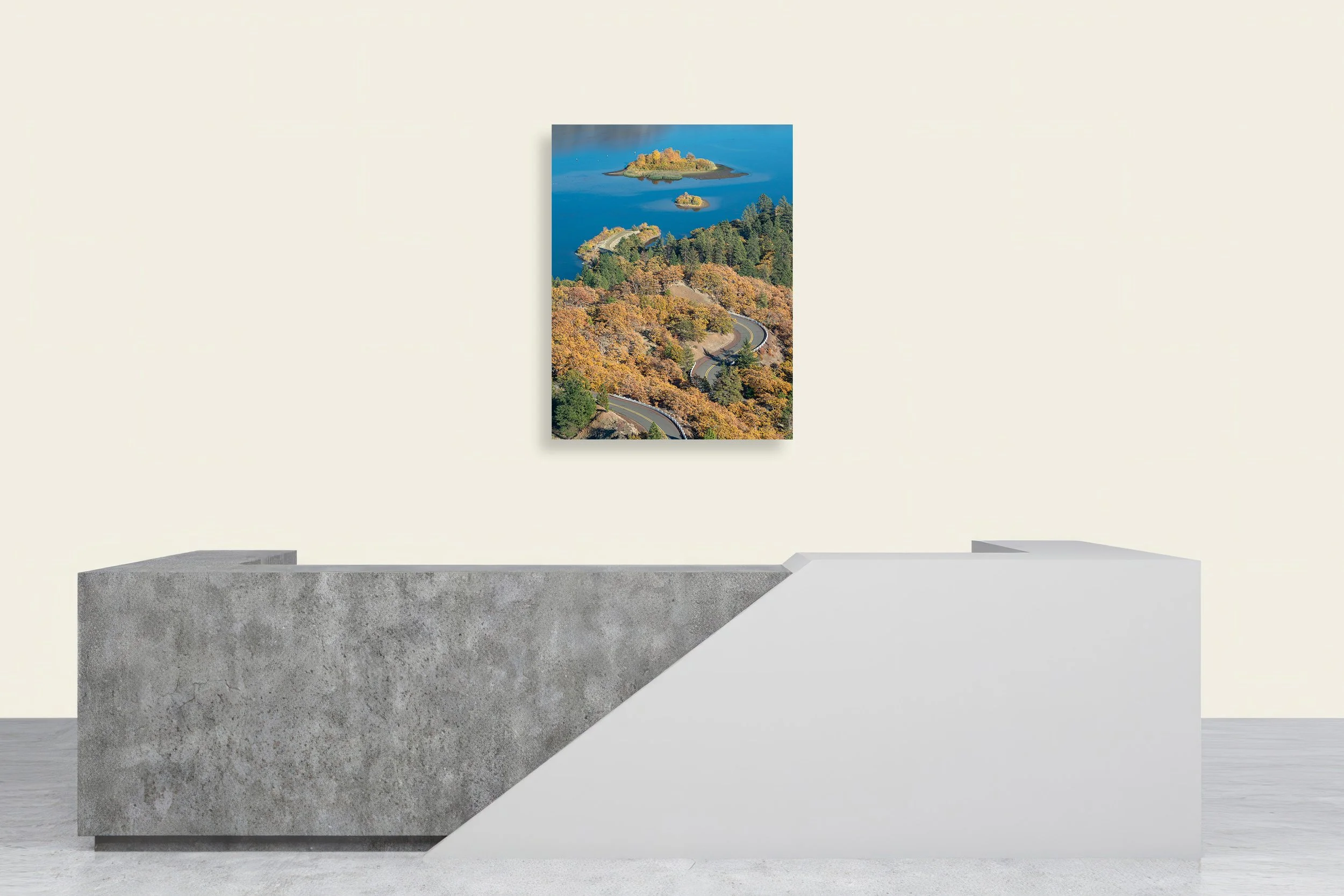 Image 3 of 4
 Image 4 of 4
📥 Download FREE desktop wallpaper
🖼️ View artwork details & shipping
📸 Request a free wall preview
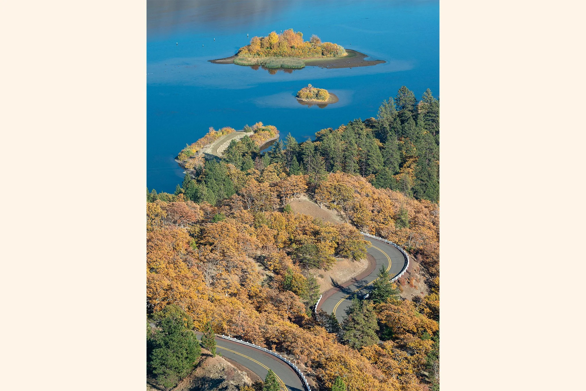
“Roads End”
Description:
Completed in 1922, the Historic Columbia River Highway was the first planned scenic highway in the United States. Built for beauty rather than speed, one of its most iconic surviving segments climbs to Rowena Crest, offering unmatched views of the Columbia River Gorge between Mosier and The Dalles.
Story:
An optical illusion, historic Highway 30 appears to wind its way directly into the Columbia River during a fall afternoon at Rowena Crest.
This illusion began with simple curiosity as I surveyed the Rowena Crest Viewpoint and Tom McCall Preserve, scouting locations that might work best under overcast conditions. Standing along the McCall Point Trail — right where the cliff meets the road — I watched cars travel the curves, briefly vanishing and reappearing between the oaks.
The more I watched, the more curious I became. I walked farther along the trail, keeping my eyes on the winding pavement below. Out on the river, an island sat near an unpaved shoreline road. By shifting my position and adjusting my viewpoint, I was able to line up the highway with the water so perfectly that it looked as if the road continued straight into the Columbia.
Once my composition was set, I photographed several versions. Some included cars; others had boats from the nearby ramp. In the end, I chose the frame without either. The absence of movement made the illusion stronger — a quiet road leading nowhere.
-BAP
Location:
McCall Point Trail
Tom McCall Preserve
Mosier, Oregon
45° 40' 38.4'' N, 121° 17' 59.4'' W
Google Map Link
Time: 15:40 PDT
Date: October 24th, 2019
Camera & Settings:
Single Shot
Nikon D800E, NIKKOR 70-200 mm f/4G, CPL Filter, 10-stop ND Filter, Tripod
ISO 100, 165 mm, f/10, 57 sec
📥 Download FREE desktop wallpaper
🖼️ View artwork details & shipping
📸 Request a free wall preview
“Roads End”
Description:
Completed in 1922, the Historic Columbia River Highway was the first planned scenic highway in the United States. Built for beauty rather than speed, one of its most iconic surviving segments climbs to Rowena Crest, offering unmatched views of the Columbia River Gorge between Mosier and The Dalles.
Story:
An optical illusion, historic Highway 30 appears to wind its way directly into the Columbia River during a fall afternoon at Rowena Crest.
This illusion began with simple curiosity as I surveyed the Rowena Crest Viewpoint and Tom McCall Preserve, scouting locations that might work best under overcast conditions. Standing along the McCall Point Trail — right where the cliff meets the road — I watched cars travel the curves, briefly vanishing and reappearing between the oaks.
The more I watched, the more curious I became. I walked farther along the trail, keeping my eyes on the winding pavement below. Out on the river, an island sat near an unpaved shoreline road. By shifting my position and adjusting my viewpoint, I was able to line up the highway with the water so perfectly that it looked as if the road continued straight into the Columbia.
Once my composition was set, I photographed several versions. Some included cars; others had boats from the nearby ramp. In the end, I chose the frame without either. The absence of movement made the illusion stronger — a quiet road leading nowhere.
-BAP
Location:
McCall Point Trail
Tom McCall Preserve
Mosier, Oregon
45° 40' 38.4'' N, 121° 17' 59.4'' W
Google Map Link
Time: 15:40 PDT
Date: October 24th, 2019
Camera & Settings:
Single Shot
Nikon D800E, NIKKOR 70-200 mm f/4G, CPL Filter, 10-stop ND Filter, Tripod
ISO 100, 165 mm, f/10, 57 sec