
 Image 1 of 4
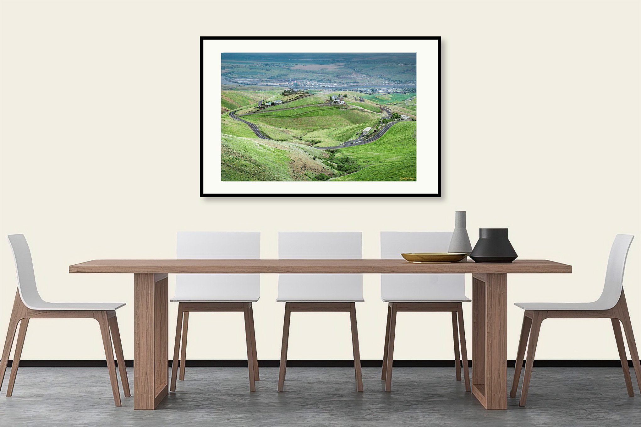 Image 2 of 4
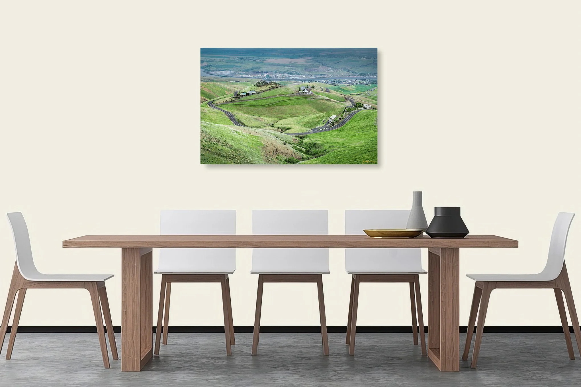 Image 3 of 4
 Image 4 of 4
📥 Download FREE desktop wallpaper
🖼️ View artwork details & shipping
📸 Request a free wall preview
“Old Spiral Highway”
Description:
A sweeping view of the Old Spiral Highway, formally U.S. Route 95, descends toward North Lewiston, Idaho, curving through bright green hills after spring rains. This historic road, also called the Old Lewiston Grade, cuts across the rolling Palouse–Clearwater transition zone, offering panoramic views of the Snake River, basalt knolls, and agricultural landscapes.
Story:
Photographed from the side of the road looking down toward North Lewiston, Idaho, the Old Spiral Highway winds past hills newly green from recent rains.
This highway is as curvy as its name suggests. Driving it was exceptionally fun — like a carnival roller coaster, except I was in control and free to stop whenever the landscape demanded attention.
I was heading home after visiting my cousin in Pullman, near the end of a long road trip that had carried me as far east as D.C. and as far south as Miami to see family and explore the country. (This was my first year back after teaching English in South Korea.)
Descending the old spiral highway, I kept stopping to appreciate how briefly this region stays green. Soon enough, the hills would fade to brown. With clouds overhead and the landscape glowing from the rain, it felt like the right moment to capture the depth and rhythm of this undulating road.
-BAP
Location:
Old Spiral Highway
(old U.S. Route 95)
Lewiston, Idaho
46° 27' 33.3'' N, 117° 0' 48'' W
Google Map Link
Time: 11:03 PDT
Date: May 21st, 2019
Camera & Settings:
7 Shot Panorama
Nikon D800E, NIKKOR 24-70 mm f/2.8G, CPL Filter, Tripod
ISO 100, 70 mm, f/8, 1/160 sec